The Trip
There is a category of hike that looks perfectly manageable on paper — mostly downhill, after all — and proves, over the course of ten and a half hours, to be something else entirely. The West Rim Trail in Zion National Park belongs firmly in that category. Eighteen and a half miles from the ponderosa pines of Lava Point down to the canyon floor, it is one of the great point-to-point routes in the desert Southwest. It will also remind you, reliably, somewhere around mile fourteen, that “mostly downhill” and “easy” are not the same thing.
Our shuttle picked us up from our hotel at the park entrance around 5:30am and drove us to the Lava Point Campground at 7,890 feet and we were on trail by about 7:15 in the morning. The plateau was lit by the early more sky and the air was cool under the ponderosa canopy. There was nobody else at the trailhead and if felt the park was entirely ours.
“What most visitors never see is how different Zion looks from the top — quieter, higher, and considerably more honest about how big the canyon actually is.”
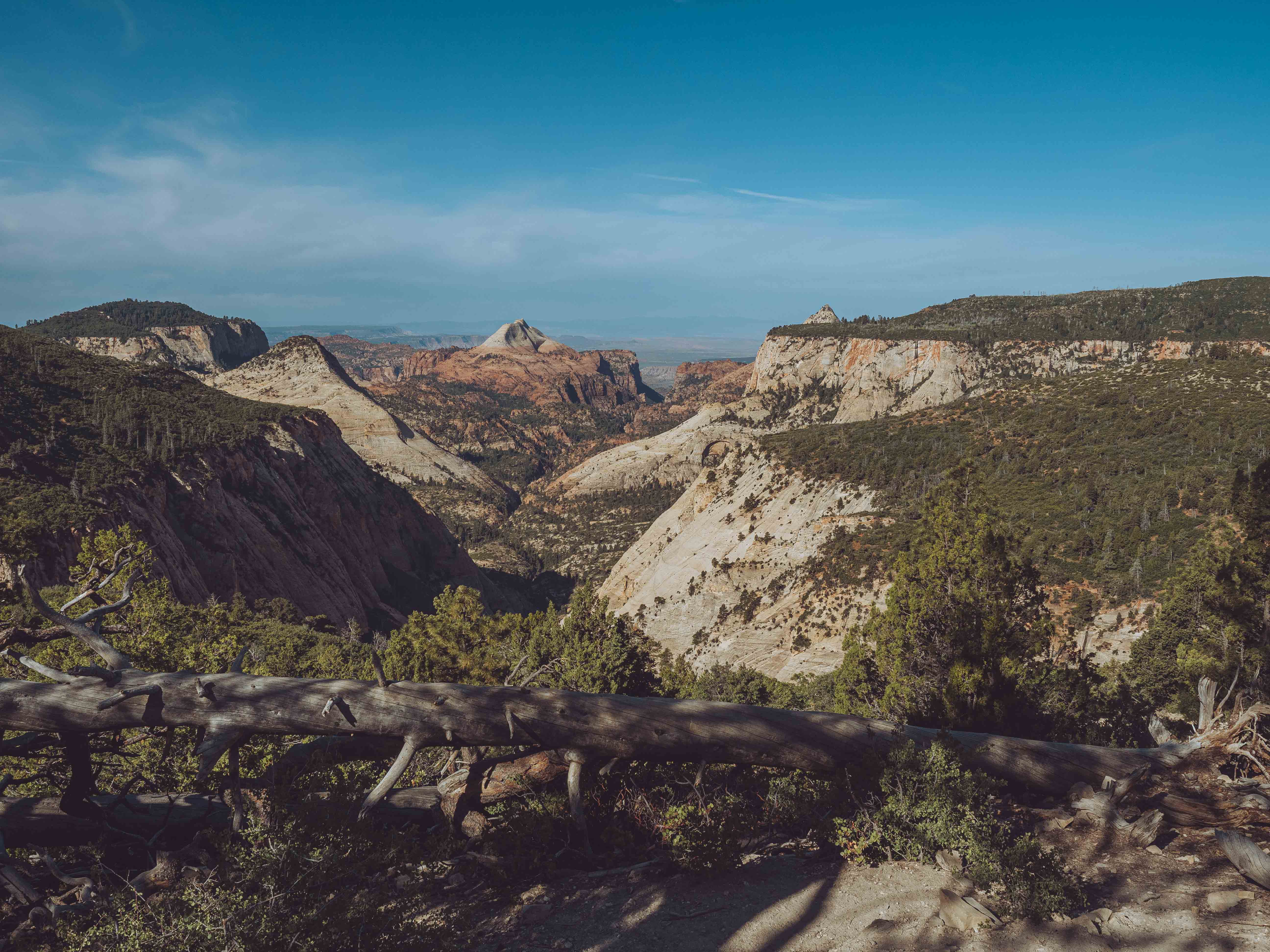
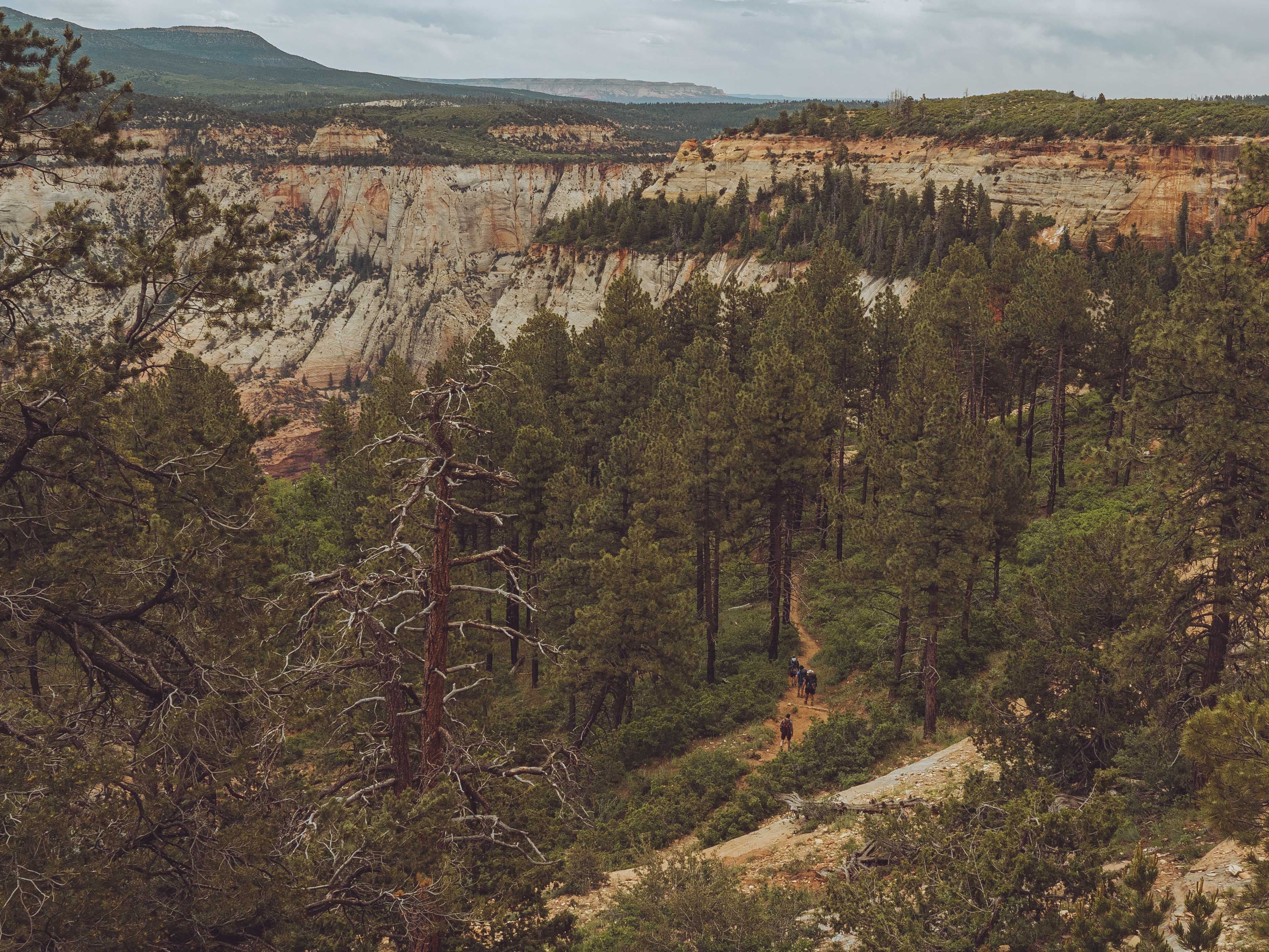
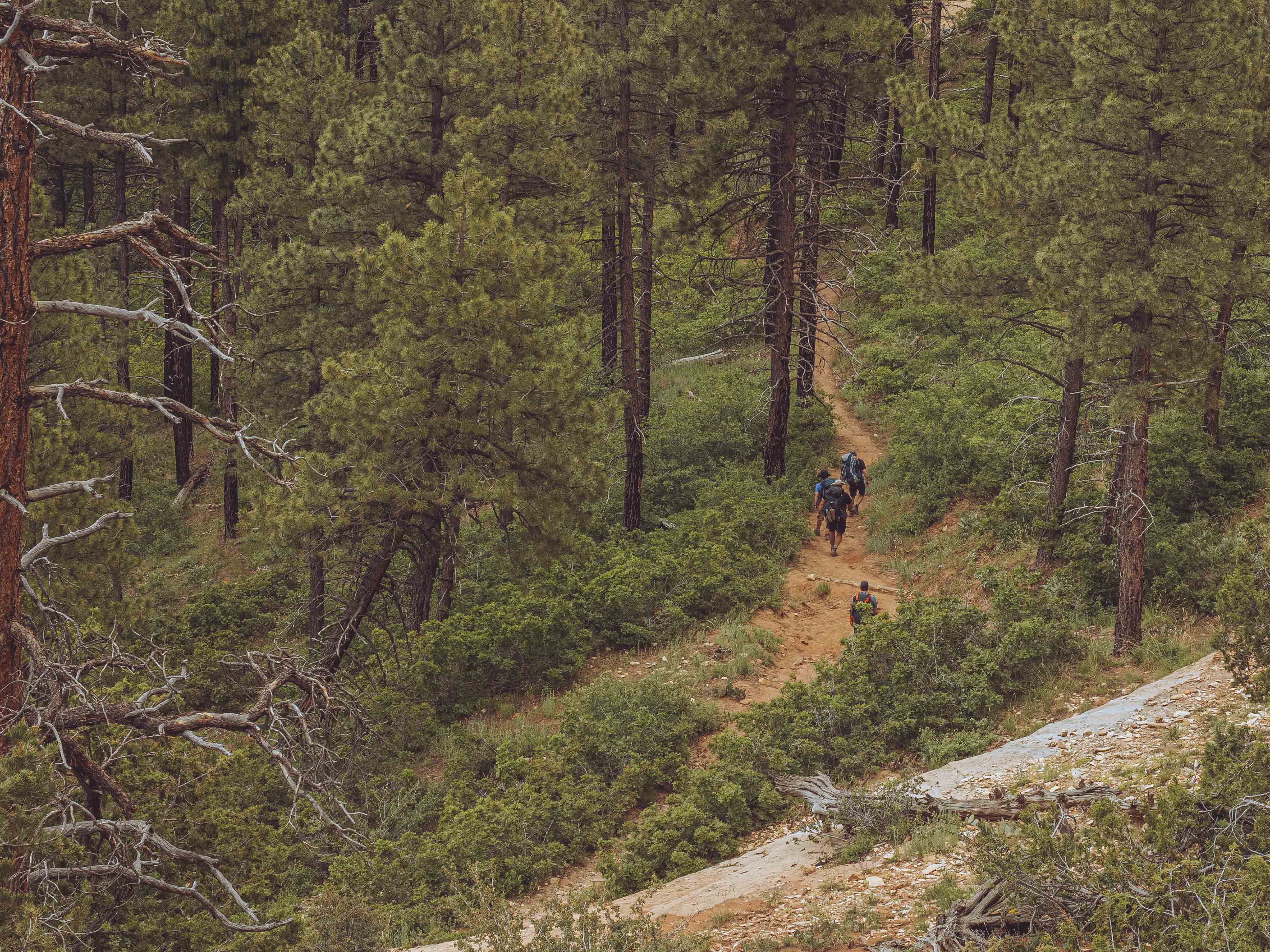
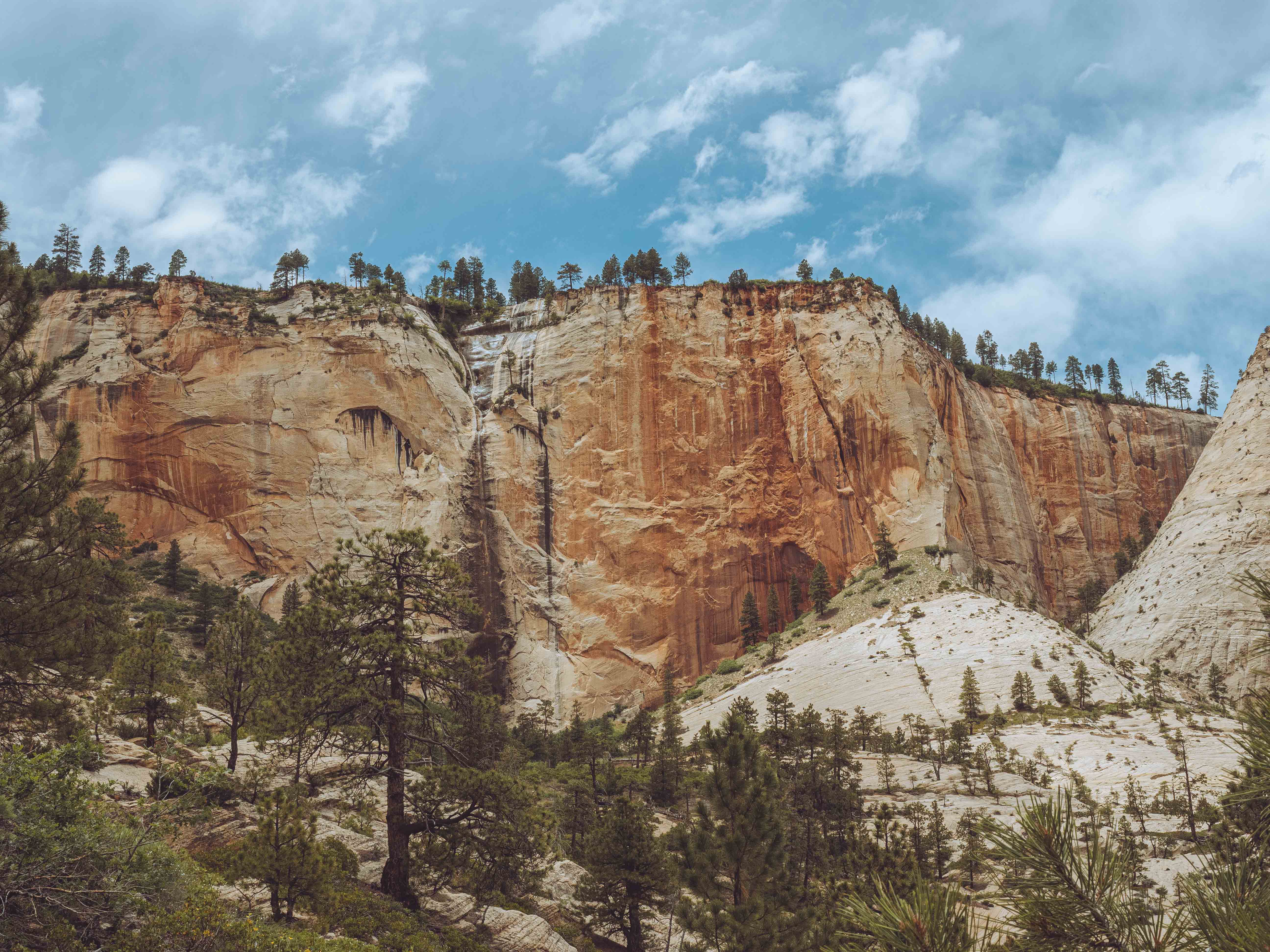
What most people know of Zion is the canyon itself — the shuttle buses, Angels Landing, The Narrows, the vertical red walls that make the valley feel like the bottom of the world. The high plateau is a different place entirely: open ponderosa forest, slickrock meadows, and a silence that takes a few miles to settle into. The West Rim Trail traverses this plateau for a long time before committing to the descent, rolling along the rim and threading between side canyons, offering views that reveal the canyon's scale in a way that standing inside it simply doesn't. In June, the high country is still early summer — wildflowers in the meadows, reasonable temperatures, no crowds worth mentioning.
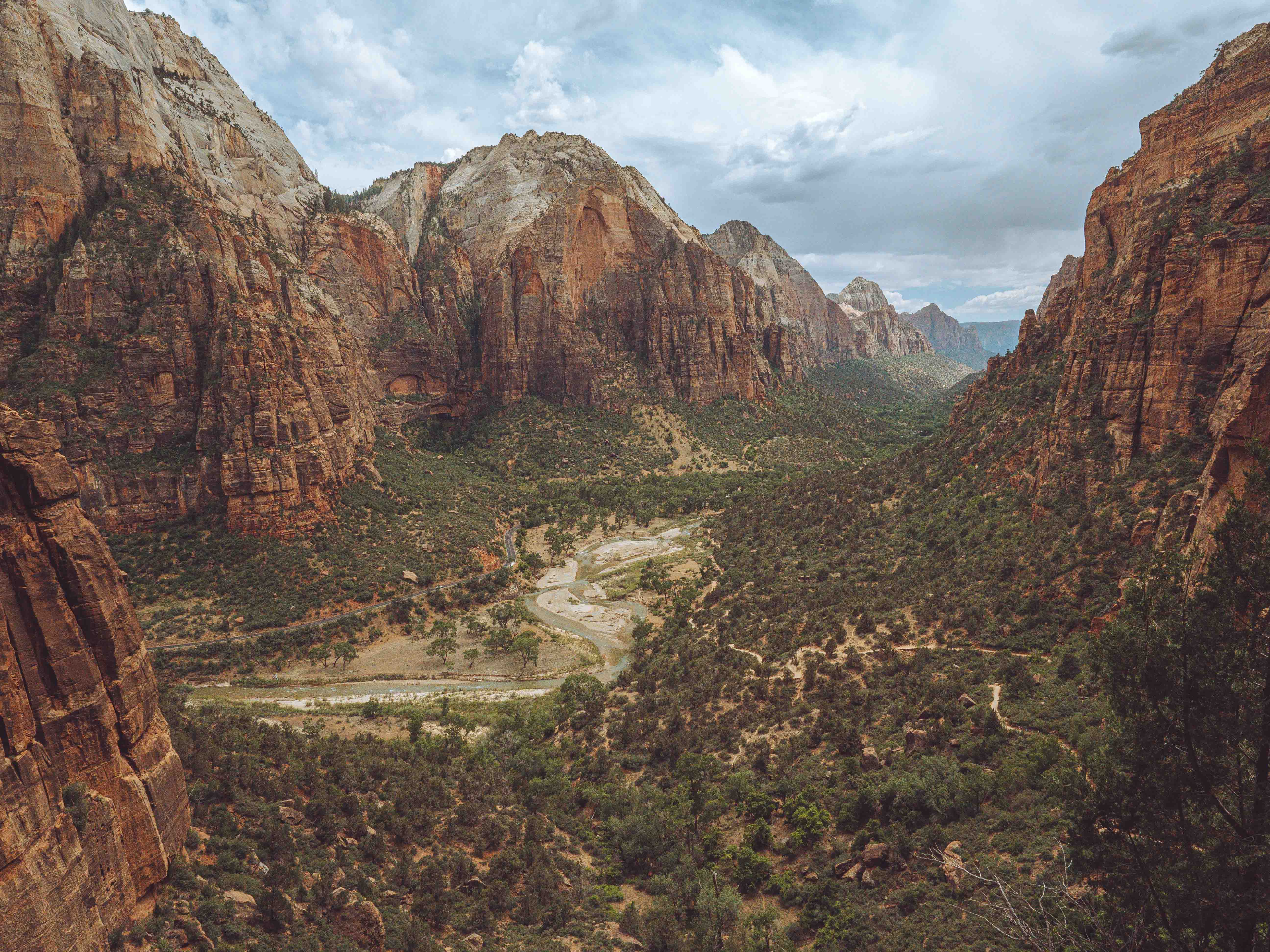
By mid-afternoon we reached Scout's Landing, the broad sandstone shelf that sits above Zion Canyon proper and followed the Wiggles down the narrow canyon. The descent from Scout's Landing to the valley floor is where the West Rim Trail earns its reputation. The views opened up to the Virgin River far below us, a thin and meandering green line with the canyon walls rising in every direction around it. It is the kind of view that renders conversation temporarily pointless. The hike took longer than it should have and none of us regretted it.
By the time we reached the valley floor, caught the shuttle, and made it back to the hotel, all four of us were well and truly finished. The good kind of finished — the kind with no ambitions for the evening and no complaints about it either. We will be back.